
Forecasted El Niño Requires Extra City Preparations
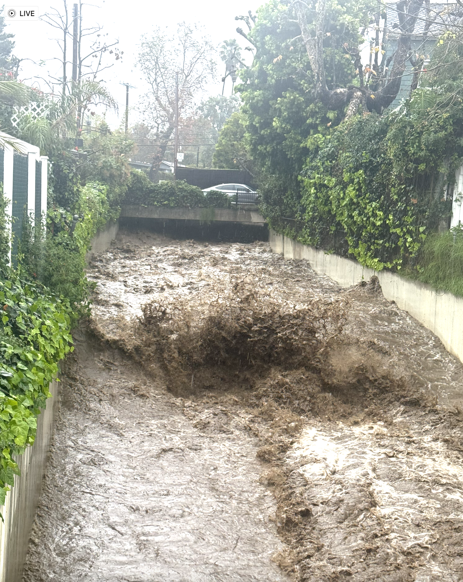
Water rushes down the Santa Monica Flood Channel in February this year.
By Sue Pascoe
Courtesy of Circling the News
The National Weather Service indicates a high potential for intense local rainfall due to El Niño conditions in the coming months.
The National Oceanic and Atmospheric Administration (NOAA) Climate Prediction Center “forecasts El Niño to intensify through 2026” with a “very high confidence that El Niño will continue through early 2027.” In addition, NOAA predicts an 81% chance that this season’s El Niño will escalate into a very strong event “that would rank among the largest El Niño events in the historical record going back to 1950.”
Pacific Palisades’ rainfall season starts on July 1 and runs through June 30 with an annual average rainfall of 13.78 inches. During the 1982-1983 El Niño, about 34 inches of rain were recorded in downtown L.A., with Palisades and Malibu receiving more.
The 1997-1998 El Niño produced about 42.60 inches of rain in the Palisades (about 29 inches above average). Pacific Coast Highway was closed repeatedly because of mudslides and debris. The driest season in the Palisades, since record-keeping began in 1942, was 4.11 inches in 2006-2007.
For Palisades residents living along the bluffs and in canyon neighborhoods, city officials are closely monitoring weather conditions. The Emergency Management Department (EMD), in partnership with the National Weather Service, will coordinate with city departments to provide public information.
The weather pattern in El Niño years historically strengthens off the Pacific, shifting ocean temperatures and generally starting to alter the jet stream in October and November. In December, the storm tracks start dipping southward into Southern California, increasing the frequency of rain systems. By January and into February, there are usually heavy downpours.
El Niño is a naturally occurring climate pattern characterized by warmer-than-average ocean temperatures in the central and eastern equatorial Pacific Ocean. These changing ocean conditions can influence weather patterns across the United States and are often associated with increased rainfall, flooding, and coastal impacts that can be particularly severe for our hillsides and coastline.
City departments are reviewing preparedness measures in anticipation of possible impacts to local infrastructure, specifically focusing on our debris basins, steep hillsides, and canyon areas prone to mudslides.
All residents and businesses are encouraged to begin reviewing personal preparedness, especially if one lives near the bluffs or canyons. One should consider planning for potential road closures and power disruptions caused by heavy rain or flooding.
For Palisades areas with recent burn scars, additional preparedness measures include:
Reviewing the City of Los Angeles Rain Ready suggestions
Knowing your property’s risk factors
Clearing drainage paths
Using plastic tarp to cover areas under construction
Using mulch, sandbags, and hay waddles to filter or direct potential runoff
Additional resources include:
The Los Angeles Department of Building and Safety guidance materials that assist homeowners in preparing for rain-related hazards, including flood, debris flow, and erosion risks, such as the brochure—Homeowner’s Guide for Flood, Debris Flow and Erosion Control.
The Emergency Management Department program guides, which assist homeowners and businesses with preparedness: Ready Your LA Neighborhood and the Ready Your LA Business.
NotifyLA, which allows residents to receive emergency alerts.
The LA County Public Works Mud and Debris Flow forecast for the Palisades Burn Scar.
@ReadyLA, which can be followed on social media platforms.
